21 septembre 2012
5
21
/09
/septembre
/2012
00:01
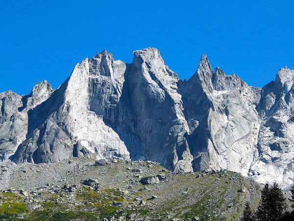
Piz Badile is one of the greatest North Face of the Alps. It is a sea of rock, 800 meters high above glaciers which have retreated a lot! It lies in the east end of the Alps, on the Swiss Italian
Border. You can see Piz Bernina and Lake Como from the summit
The objective is the Cassin route (TD, 6a). Its first ascent was done in 1937 and ended tragically as one of the two parties who did it died of exhaustion while descending after having spent two
nights in the face
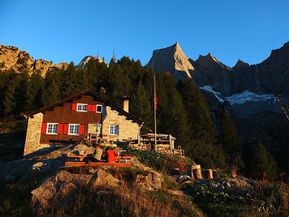
With Louis, who guides me, we left Chamonix on Monday to get in time to the Furä hut (1900m) for a nice dinner and where we enjoy an awesome sunset .
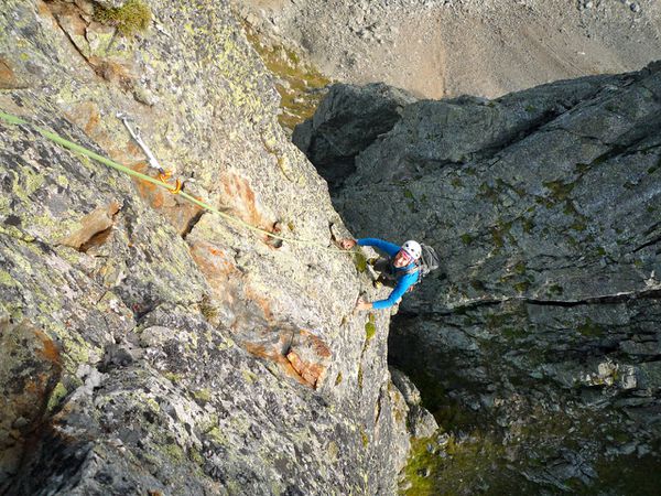
On Tuesday, we leave the hut before dawn at 4 45am. No time to loose as the objective is to be the first in a route where it is difficult to bypass. And here we are! Starting a route composed of
more than twenty 50m pitches with quite a lot of route findings in some places, steep, rising high above the glacier.
We are soon over the first bivvy of Cassin and then the second. Even today many climbing parties are spending more than a day in this route....
After a massive chimney, we finally reached the North ridge which we followed up to the summit. We summited at 11 40, 5h30 after the start of the rock climb, 1500 m above the hut! Stunning
landscape. So great to be there, on the summit.
Soon though, we need to think of going down. In light of the good weather and of our good shape, Louis decides to go down along the North ridge. It's a new technical route in itself. Down climbs
and numerous abseils! We say hello to many climbing parties who are still far away from the summit, some of them might have to bivvy on the summit.... We also see a few late parties in the Cassin
route. After more than 3 hours, we finally get out of the difficulties. Soon we stop for a drink at the hut before getting back to the car, ready for the long drive to Chamonix.
An amazing mountaineering experience. Many thanks to Louis

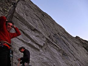
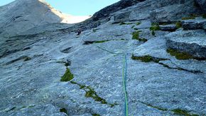


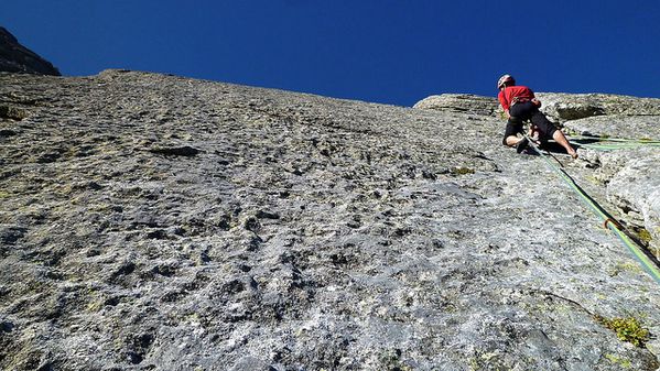

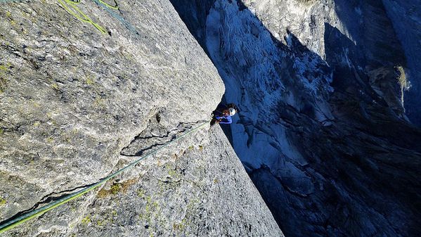
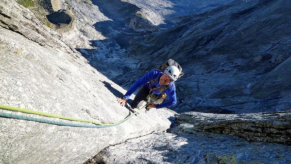

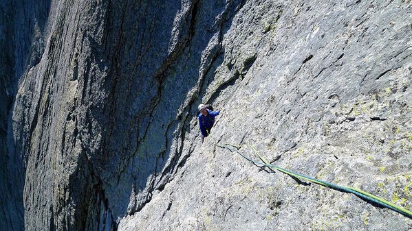


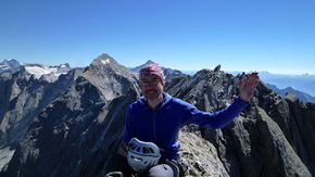


Thierry, accompagné de Louis Laurent, guide de haute montagne.
Découvrir les stages "grande course".
The slideshow of Thierry.
Published by Compagnie des Guides de Chamonix
-
dans
English version
7 août 2012
2
07
/08
/août
/2012
00:28
Published by Compagnie des Guides de Chamonix
-
dans
English version
4 août 2012
6
04
/08
/août
/2012
00:39
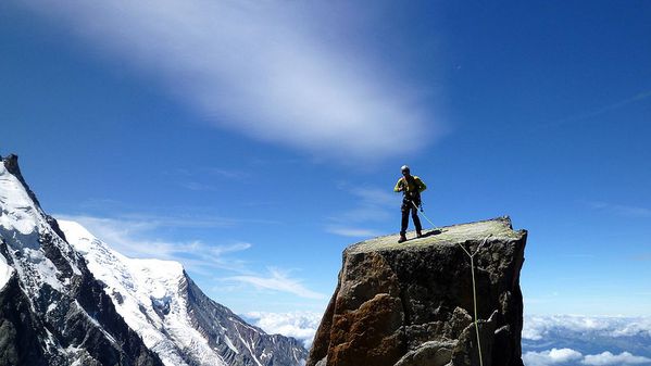
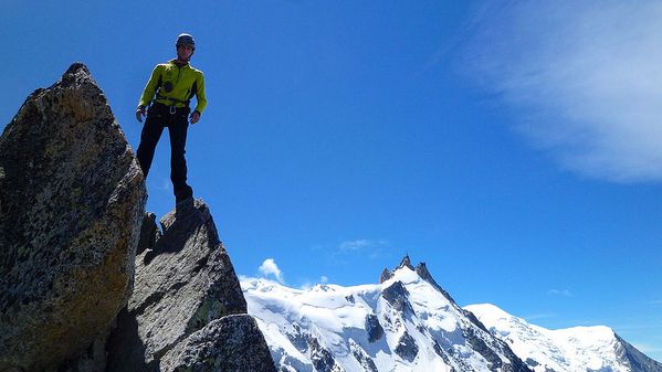
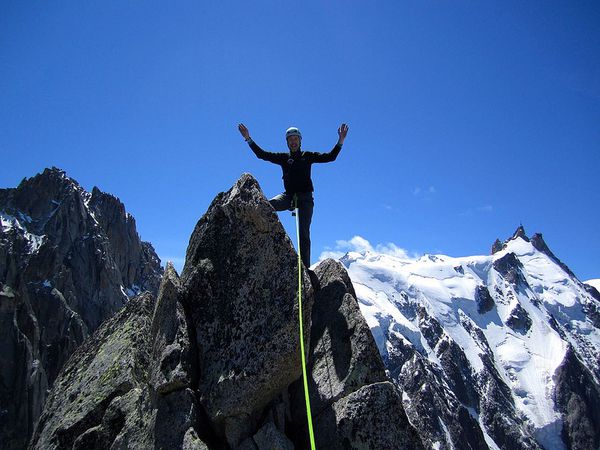
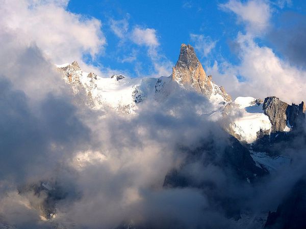
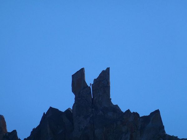
L'Aiguille des Ciseaux (Scissor Peak 3479m) is easy to spot from the village of Chamonix. And indeed, when reaching the summit, it really looks like a pair of scissors, a proper rock blade and it
is very airy when looking down to Chamonix.

Les Ciseaux (à droite), versant Mer de Glace
5 years ago, while I was coming down from the normal route of Aiguille du Moine, my guide, Denis, showed the Troussier Route on the Ciseaux (D,5a) and said that I would probably be able to do it
one day. He also said that this route was to be done early in the season because of the bergschrund
And here we are. It's early July and Louis and I are hiking up to the Envers des Aiguilles hut at 2500m.
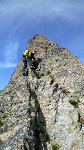
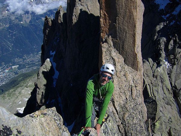
We left the hut at 5am. The crossing of the bergschrund will take time as Louis also set a fixed rope for the following climbing parties. After the scary crossing of the bergschrund, we started
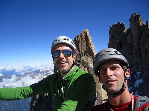
the rock climb, steep, beautiful, never too difficult. We reached the summit slightly before 11am, 4 hours after the bergschrund.
Awesome views. From a distant peak, a friend of Louis took, by chance, a picture of him arriving on the summit.
Then we started to go down, multiple abseils. Lower down, we saw an other guide and his client who left the hut at the same time as we did. And then, it's the bergschrund again....
Small stop at the hut before the ladders leading to the Mer de Glace
An amazing climb, the third I have done from this hut after Republique/Grand Charmoz and Roc Grepon


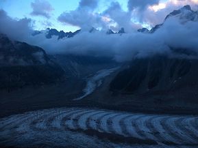


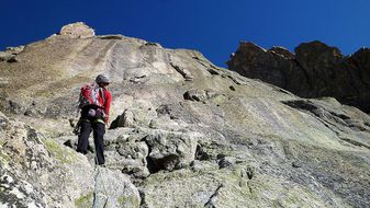
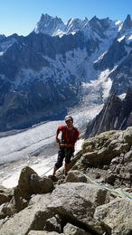

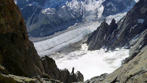
More pictures.
Thierry, with Louis Laurent, hight mountain guide.
Hight montain guide just for you.
More english version in blog.
Published by Compagnie des Guides de Chamonix
-
dans
English version
15 octobre 2011
6
15
/10
/octobre
/2011
00:04
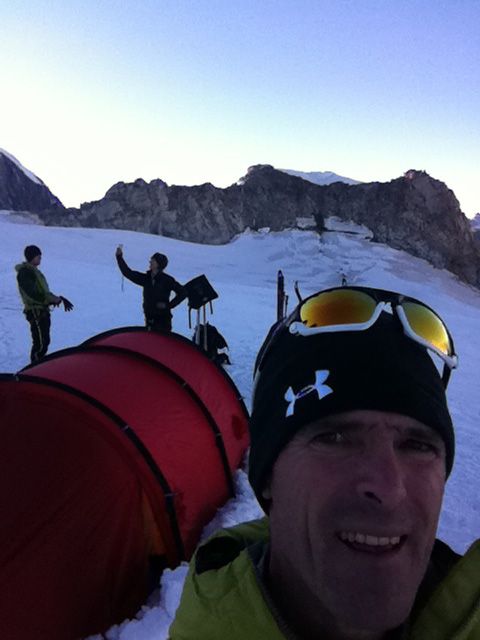
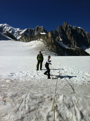
On 1,2,3, October, Yoyo (from Holland), Matt(from England) and I trained on around the Col du Geant for their competition to the South Pole. They will compete this winter (summer down south) with
other teams for three weeks in Antarctica, racing to the South Pole on skis and pulling sleds.
We had beautiful autumn weather, although they wished for stormy training weather, while we practiced winter camping in a tent, pulling sled, skiing, crevasse rescue, and many other skills they
will need to traverse the frozen continent.
Good luck in your race Yoyo and Matt.
Michael Sillitch, guide de haute montagne.


Published by Compagnie des Guides de Chamonix
-
dans
English version
7 octobre 2011
5
07
/10
/octobre
/2011
00:41
Published by Compagnie des Guides de Chamonix
-
dans
English version
27 septembre 2011
2
27
/09
/septembre
/2011
00:12
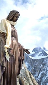
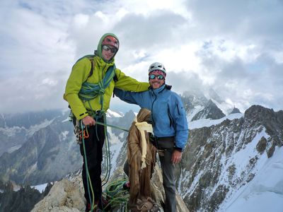
The Dent du Geant is one of the 4000ers of the Alps. It is one of the 100 best ascent described by the famous French guide Gaston Rébuffat. For me, this has also been the second sighting of an
Alpine madonna in my climbing week after the Grepon one as there is an other one of the 4 madonnas of the Mt Blanc range on its summit.
The weather forecast was for a crystal clear blue sky and Louis suggested we climb Géant branché on the right of the normal route but it was pretty unsettled as we started! So we changed the plan
and started the normal route (D-, IV+)!
And because it was unsettled, we almost ran.... 5h15 of climbing overall, back to the Torino hut at the same time than parties who left 3 hours earlier!
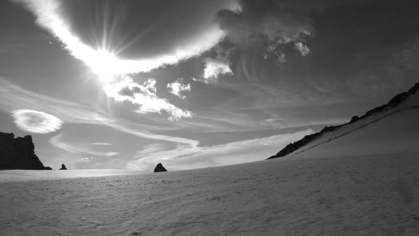
So. We started just before 9am from Pointe Hellbroner, walked on the Geant Glacier with amazing views on the Aiguilles de Chamonix and on République which we climbed a year ago. After crossing
the bergschrund (I don't like them!), we scrambled up to a place called the Dining room which is where the climb really start. Soon we get to the fixed rope of the famous Burgener slabs before
reaching the first summit at 4009m.
Then we arrived to the true summit, Pointe Graham at 4013m. Amazing scenery despite the bloody unsettled weather.
Soon, it was time to go down through a succesion of very (very) steep abseils. Following that, we down climbed back to the glacier, en route to the Torino hut where we started.




Texte et photos de Thierry Levenq, accompagné de Louis Laurent, guide de haute montagne
Published by Compagnie des Guides de Chamonix
-
dans
English version
26 septembre 2011
1
26
/09
/septembre
/2011
00:29
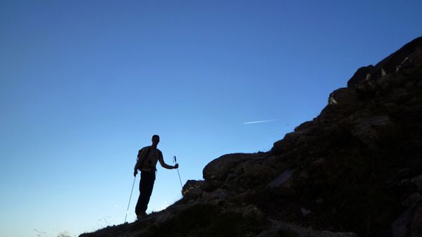
The Ecandies ridge belongs to the 100 best climbs described by the famous French guide Gaston Rebuffat. It's an amazing rock ridge graded D with two steps of V+. It's not very high, 2783m, but
the scenery is amazing!
We had an early start as we were walking at 6am, just before sunrise. While we were driving from Chamonix to Champeix we saw many participants of the Ultratrail race who were still running, in
the dark, having started more than 24hours before!
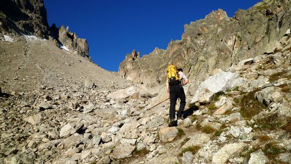
Beautiful approach in the Val d'Arpette which is also the route taken, on the way down, by those doing the Haute Route. We started to climb slightly after 8 and, as we got higher up, we
discovered the amazing landscape of the Trient glacier on one side and the Oberland in the distance on the other side.
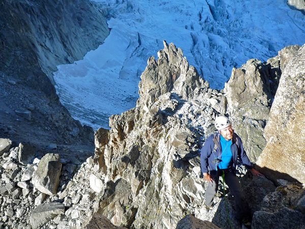
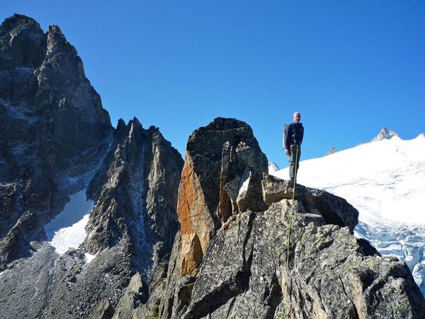
Very nice climb, quite airy as we progressed around many gendarmes. Soon, we climbed the crux of the route, a beautiful razor edge step. And then we arrived at the surprise of the day : the Angel
jump. No other choice than to get over the void to continue on the ridge! In the end it was more impressive than difficult.
At 11am, we are down on the Val d'Arpette. We saw no one else on the route but now there are two parties approaching the razor edge step, well behind us.
Guided by Louis, it was an excellent introduction to the week of climbing which will follow.
Lire en français


Texte et photos de Thierry Levenq.
Published by Compagnie des Guides de Chamonix
-
dans
English version


